Yeongam-gun, Jeollanam-do, South Korea
time : Jul 26, 2025 7:33 AM
duration : 10h 1m 9s
distance : 6.9 km
total_ascent : 491 m
highest_point : 483 m
avg_speed : 1.1 km/h
user_id : netcom
user_firstname : 설진
user_lastname : 박
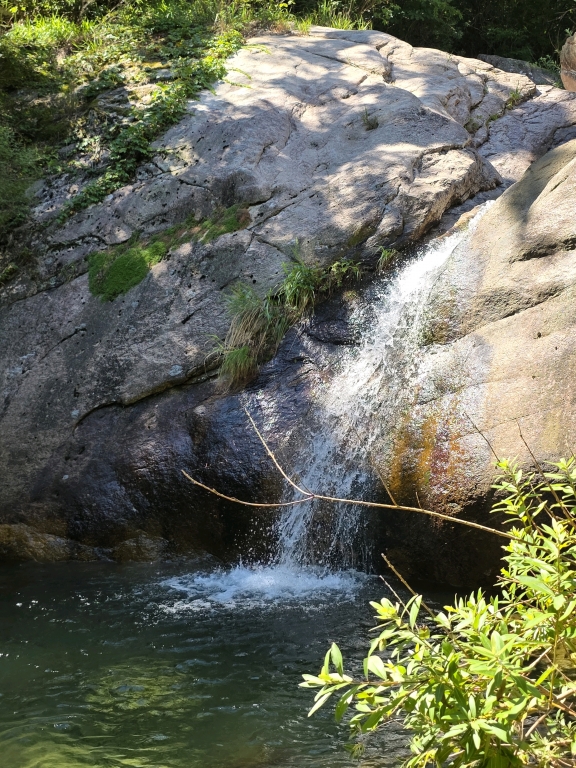
용추계곡포함,전체가 오지탐험,등산로 거의 안보임,용추계곡 사람이 안다녀서 정말 깨꿋함.