방태산

구룡덕봉 정상을 가려면 헬기장 지나서 임도로 내려오다 시그널이 달려있는 왼쪽 산길로 들어가야 함. 이단폭포에서의 알탕으로 더위를 싹~ 날림~^^

Hiking/Backpacking

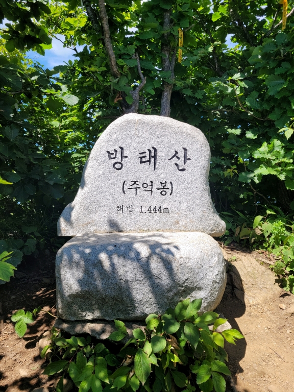
휴양림-매봉령감림길-주억봉-구룡덕봉-매봉령-휴양림
Inje-gun, Gangwon State, South Korea
limhj020462 photo
time : Jul 26, 2025 11:17 AM
duration : 5h 43m 3s
distance : 16.2 km
total_ascent : 1167 m
highest_point : 1473 m
avg_speed : 3.3 km/h
user_id : limhj020462
user_firstname : 임희정
user_lastname :
구룡덕봉 정상을 가려면 헬기장 지나서 임도로 내려오다 시그널이 달려있는 왼쪽 산길로 들어가야 함. 이단폭포에서의 알탕으로 더위를 싹~ 날림~^^
Info
Name
 
About Me
Media Contents
  •  
  • -
  •  
  • -
  •  
  • -
  •  
  • -
Most Frequent Activity
1.
-
2.
-
3.
-
Widget
Copy the widget source code below and paste into your blog template.
 
( / )
  No more trips to show
 
No more trips to show
limhj020462's Collections
 
Sorry, the collection could not be found.
Bookmarked Collections
 
Sorry, the collection could not be found.
 
(0)
  There is no data
Blocked Users(0)
  There is no data
Ramblr passports
  Share

  Grab the URL link to the passport.

0 like(s)
 
(0 / 0)
Badges (0)
These are the badges you have acquired. Click to see the details.
     
     
    These are the badges you have acquired. Click to see the details.
    Badges acquired
      Full Screen
     
      Google Map
      Naver Map
    Statistics
    • Total
      Trips
      -
    • Total
      Distance
      -
    • Total
      Duration
      -
    • Highest
      Point
      -
    • Total
      Ascent
      -
    • Average
      Speed
      -
    Most Frequent Activity
    Click on the stat type above to see its graph.
  • First Certification Date :
  •  
    Following
      Follow
    Unfollow
  • 0
     
    There is no badge.
  • Draft
    Private
    Secret
     
    -
      Edit
      Delete
    Are you sure you want to delete this trip?
    YES, delete
    NO, cancel
    Add to Collection
     
     
    Create a Collection Edit Collection
     
    Name
     
    Description
     
    Visibility Setting
     
    Trip Sorting by
     
    Cover Picture