Gapyeong-gun, Gyeonggi, South Korea
time : Aug 9, 2025 9:09 AM
duration : 5h 7m 50s
distance : 6.7 km
total_ascent : 627 m
highest_point : 885 m
avg_speed : 1.6 km/h
user_id : yjp57
user_firstname : Jaepung
user_lastname : Yoo
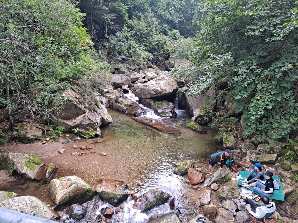
정상까지는 수월했지만 하산길 급경사에, 계곡길 2.6킬로는 온통 미끄로운 바위 길 이어서 신경 쓰임. 계곡은 최고 피서지.