후반 3킬로는 아주 쉬운길, 전반 3킬로는 경사가 심함.
하지만 전체적으로 내리막이 길어서 힘들진 않은데
계속 내리막이라 허벅지가 아닌 종아리가 땡김 ㅎ
Yangyang-gun, Gangwon State, South Korea
time : Sep 24, 2025 10:17 AM
duration : 3h 23m 37s
distance : 6.1 km
total_ascent : 347 m
highest_point : 1002 m
avg_speed : 2.0 km/h
user_id : vzfzd85fvr
user_firstname : freeMJ
user_lastname : S
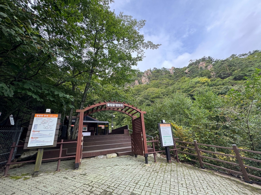
흘림골탐센출발 - 여심폭포 - 등선대 - 십이폭포 -
용소폭포 삼거리 - 선녀탕 - 오색약수 - 약수터 탐센 도착