Taipei, Taiwan
time : Jul 27, 2025 8:40 AM
duration : 2h 58m 48s
distance : 3.4 km
total_ascent : 253 m
highest_point : 298 m
avg_speed : 1.4 km/h
user_id : TAKAo1966
user_firstname : 神庭
user_lastname : 隆男
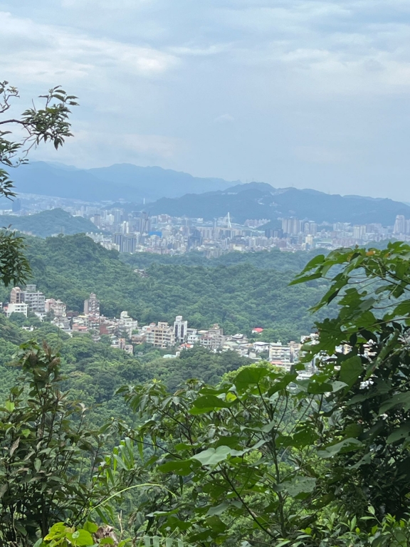
加拿大國旗楓のカナダ🇨🇦の国旗は見つけられず。登りは、急な坂が多く、雨後の湿気で、すごく暑かった。
帰路も、ロープを使って降りる程、急な勾配でした。