Leave God‘s grace Campground on Shady Trail
Make a RIGHT onto HIAWATHA (Red)
Make a RIGHT onto ICICLE (Blue)
You will come to CONFUSION FLATS (Yellow)
Make a RIGHT When you see SHORT CUT RD (Blue)
Keep it to your left and go onto ERIE CANAL TRAIL (Yellow)
Make a RIGHT onto JUMPER TRAIL (Red)
When you come to MIKES RD (Red) make a RIGHT Follow MIKES RD to CASSLERVILLE TRAIL (Yellow)
CASSLERVILLE will come to a “T” at OTTER CREEK RD it’s a very sandy area in front of you, go to the RIGHT and start watching for OTTER CREEK TRAIL (Red)
Follow OTTER CREEK TRAIL across the bridge
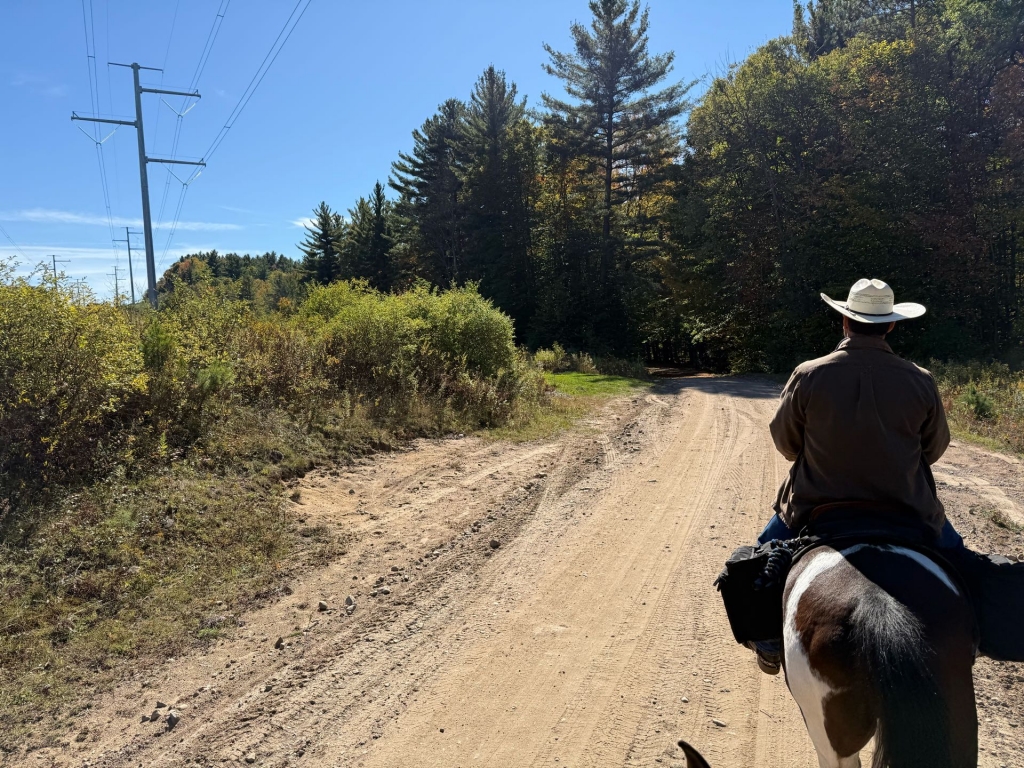
It can get tricky here, you are going to come to some powerlines and veer to the left following the red circles
You will go for quite a way, and you may not see red circles, but keep looking for them. The trail turns to the left and that’s where you will see them again and that’s the way you need to go. EATONVILLE TRAIL will eventually run into CATS PAW LAKE RD (Blue) make a LEFT Make a LEFT onto ERIE CANAL TRAIL (Yellow) Pass JUMPER TRAIL (Red) it’ll be on the left
Follow ERIE CANAL to CONFUSION FLATS (Yellow) Make a LEFT onto ICICLE Follow ICICLE to HIAWATHA (Red)
Make a LEFT onto HIAWATHA follow to
SHADY TRAIL (Blue)
You’ll be making a left onto Shady Trail. Follow this back to the campground.
Town of Greig, New York, United States
time : Oct 2, 2025 11:13 AM
duration : 5h 57m 39s
distance : 28.8 km
total_ascent : 466 m
highest_point : 397 m
avg_speed : 5.8 km/h
user_id : Castell5
user_firstname : Dalen
user_lastname : C
We made a few mistakes making this map.
Follow the directions below