20250815-인제아침가리계곡트래킹

택시에서 내려서 눌렀는데 획득고도가 왜 400이 넘었는지 모르겠다~

Hiking/Backpacking

돌길에 적합한 트래킹화 스틱 필수! 구명조끼나 튜브도 있음 좋을듯!
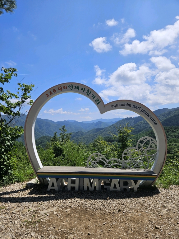
Inje-gun, Gangwon State, South Korea
msjangt photo
time : Aug 15, 2025 11:51 AM
duration : 5h 19m 59s
distance : 9.7 km
total_ascent : 431 m
highest_point : 867 m
avg_speed : 2.2 km/h
user_id : msjangt
user_firstname : Misuk Jang
user_lastname : Jang
택시에서 내려서 눌렀는데 획득고도가 왜 400이 넘었는지 모르겠다~
Info
Name
 
About Me
Media Contents
  •  
  • -
  •  
  • -
  •  
  • -
  •  
  • -
Most Frequent Activity
1.
-
2.
-
3.
-
Widget
Copy the widget source code below and paste into your blog template.
 
( / )
  No more trips to show
 
No more trips to show
msjangt's Collections
 
Sorry, the collection could not be found.
Bookmarked Collections
 
Sorry, the collection could not be found.
 
(0)
  There is no data
Blocked Users(0)
  There is no data
Ramblr passports
  Share

  Grab the URL link to the passport.

0 like(s)
 
(0 / 0)
Badges (0)
These are the badges you have acquired. Click to see the details.
     
     
    These are the badges you have acquired. Click to see the details.
    Badges acquired
      Full Screen
     
      Google Map
      Naver Map
    Statistics
    • Total
      Trips
      -
    • Total
      Distance
      -
    • Total
      Duration
      -
    • Highest
      Point
      -
    • Total
      Ascent
      -
    • Average
      Speed
      -
    Most Frequent Activity
    Click on the stat type above to see its graph.
  • First Certification Date :
  •  
    Following
      Follow
    Unfollow
  • 0
     
    There is no badge.
  • Draft
    Private
    Secret
     
    -
      Edit
      Delete
    Are you sure you want to delete this trip?
    YES, delete
    NO, cancel
    Add to Collection
     
     
    Create a Collection Edit Collection
     
    Name
     
    Description
     
    Visibility Setting
     
    Trip Sorting by
     
    Cover Picture