Santa Fe County, New Mexico, United States
time : Sep 6, 2025 8:39 AM
duration : 2h 25m 46s
distance : 6.3 mi
total_ascent : 981 ft
highest_point : 8364 ft
avg_speed : 2.6 mi/h
user_id : jlanders
user_firstname : Joe
user_lastname : Anders
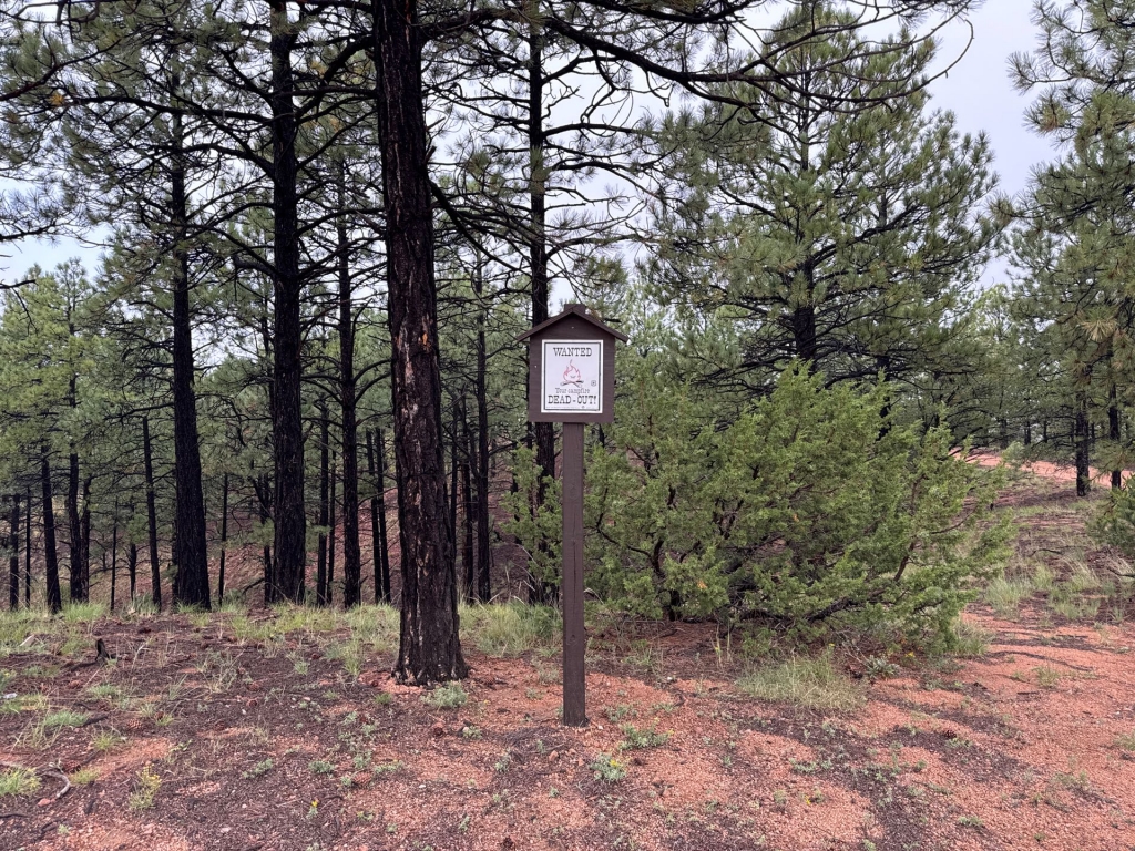
Hiked the Apache Canyon Loop trail counterclockwise. It's a pleasant hike with a nice section along the creek. Maintenance notes:
- Lack of signage makes it challenging to find the trail. Would be helpful to have signs where both T175 and T176 leave the road.
- There is an open gate - should it be closed and locked? A motorcycle happened to pass me as I was coming out.
- Sign at the trail register is faded and unreadable.
- Trail register is damaged.
- Several sections of trail have quite a bit of washout, could use water divert structures.
- There are 15 trees across the first section, 6 trees across the second.
Other notes:
- The "79" road sign when entering the forest has been tagged.
- FSR 79 is getting rutted, especially in the steep section. Suggest AWD and some clearance for vehicles.