Santa Fe County, New Mexico, United States
time : Sep 2, 2025 9:43 AM
duration : 1h 37m 22s
distance : 2.4 mi
total_ascent : 243 ft
highest_point : 7234 ft
avg_speed : 1.7 mi/h
user_id : jlanders
user_firstname : Joe
user_lastname : Anders
Parked at the informal pullout on I25, hiked 1.2 miles up Grasshopper Canyon. The first .4 miles is on private property, then FS land for the rest. Deer Creek came out of its banks during recent heavy rain, did lots of damage to the social trail that follows the creek. Notes:
- Don't recommend people with mobility impairments or small children get on the trail. It's washed out, hard to follow in many spots and the numerous stream crossings often don't have stepping stones to get across.
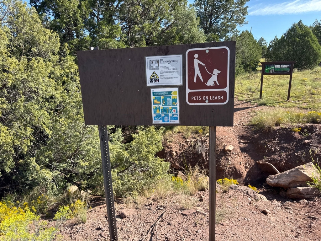
- Would be nice to have an "Entering National Forest Land" sign at the FS border.
It is a pretty hike along a stream though.