Arabako lautada/Llanada Alavesa, Autonomous Community of the Basque , Spain
time : Sep 13, 2025 9:48 AM
duration : 8h 27m 53s
distance : 22.4 km
total_ascent : 859 m
highest_point : 1146 m
avg_speed : 3.5 km/h
user_id : fineartjones
user_firstname : Neil
user_lastname : Jones
I woke up feeling a bit fed up today as I'd hit a psychological brick wall, which happens. Knowing that we had another steep climb first thing, and it was 16km until the first town, didn't help. I wanted to jump on a bus to Logroño and just spend the rest of the holiday there, though once we were up in the cloud forest, this feeling dissipated and I was back in walking mode.
Today had a bit of everything, gravel, rock, asphalt, grass, forest, moorland, and bloody cows!!
We began by having to walk back into San Romàn de San Millan in order to get back onto the Camino route. Then, heading out and up, it was yellowy gravel and dirt, which is an indication that we're getting closer to the La Rioja region! We climbed up and up, until we eventually reached the cloud forest at the top, and revelled in the surroundings we found ourselves in. We were in Lord of the Rings again, and there were Crocuses everywhere! At one point, we happened across an elderly local man, out walking with his gorgeous Border Collie, and he informed us of the stunning views seen from here. Unfortunately, we couldn't see the view, due to the mist, though Jess thought this a good thing, when the route veered very close to the cliff edge! Following more incredible forest, we emerged into a clearing, with a building that looked slightly out of place, but had a couple of benches for us to take a rest. As we walked around the building, we saw the old man we'd met earlier, just as he was leaving. He offered to take our picture and also explained to us the proper route to take towards our destination, due to the complexity of trails in the area.
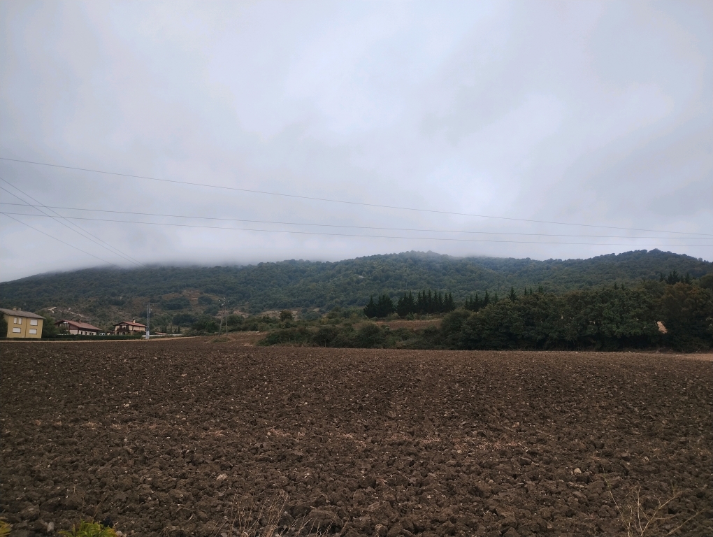
From here the walk turned more grassy, then into moorland, with ferns as far as the eye could see. Eventually, after a few kilometres along a gravel track, we arrived at the town of Ulibarri Arana, a welcome sight. We turned a corner to see my three favourite letters - B-A-R, so stopped here, obviously! It was a very friendly place considering the tiny size of the town. The locals are becoming more friendly and welcoming the further South we travel, which is great.
We then walked the 1 kilometre (it's almost the same town) to neighbouring Alda, with nothing really notable, and continued along what seemed like the longest, straightest gravel track in the world, to finally arrive into San Vicente de Arana. It's a pretty little town, with very friendly residents. There are two bars, one of which also incorporates a small shop, and the other a restaurant, this being Restaurante Obenkun, the keepers of the Albergue Peregrinos a couple of streets away. Once we'd visited the restaurant and received the key, we made our way to the albergue. It used to be the changing rooms for the football team until it was 'converted', though all they've done is shove some bunk beds in. It's very basic, one room having a single bunk, and another with 4 bunks, plus a shower and two toilets. We went back to the same bar for some drinks, as we didn't fancy hanging out at the albergue. We ended up having three large glasses of good red wine each and when we paid the bill came to €7.90, so that was a result!! We're thankfully only here for the night though, then back to a hotel tomorrow, yay! As long as we survive tonight that is! :D