Zegama, Autonomous Community of the Basque , Spain
time : Sep 12, 2025 10:18 AM
duration : 8h 25m 17s
distance : 22.8 km
total_ascent : 1176 m
highest_point : 1186 m
avg_speed : 3.3 km/h
user_id : fineartjones
user_firstname : Neil
user_lastname : Jones
Well THAT was a hard day!! The path out of Zegama started fine, but soon began to steepen, to maybe 45° in places! It also became rocky and quite slippery, due to the mist.
As we snaked ever higher, the view became more and more spectacular - when we could see it anyway. There were a few muddy areas to negotiate as we continued our climb, until finally, we saw the welcome sight of the Ermita de Sancti Espiritu (A tiny chapel), which meant we were near the top. Further on was the second chapel, the Ermita de San Adriàn. This meant that we were actually at the top! The slightly surreal thing was when five tourists suddenly appeared from nowhere, as we approached, with one couple asking us for directions! The chances of meeting other people out here must be really slim at best!
I assumed that, like the first chapel, this one would be on the mountain, but no, it was IN the mountain! It was so impressive that we decided to have lunch here, sat in the cave!
After this came several kilometres of ancient path, constructed using big rocks and boulders that were not only very uneven and precarious to walk over, but also slippery. The forest scenery and views over the Basque Country continued to impress though, with a real Lord of the Rings, Game of Thrones feel.
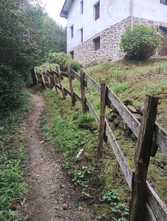
Eventually, as we descended the other side, we reached a road that wound its way down into the valley. Although the official route follows this road, it doesn't go to Araia. I should explain that our Camino is made up of three sections of different official routes, the Norte, from Zarautz to San Sebastian, the Vasco Interior, from Hernani to Araia, and finally the Ignaciano from Araia to Logroño. In the same way the Norte and Vasco Interior never meet, meaning we got a bus from San Sebastian to Hernani, the Vasco Interior and Ignaciano also don't quite meet, so we had to find our own way for around 4km to Araia. Part way down this road, we spotted a path leading off, back into the woods, with a sign to Araia, so we decided this might be better than walking on the road. This little path through the woods proved a perfect link between the two caminos, but was also slightly tougher going than we anticipated, but maybe that was because we were now gagging to sit down for a bit! The terrain was very similar to the last woods, though as it was a lot lower, it was hotter and drier, and we were therefore bombarded by flies, with me being bitten a few times. Then, later, as we turned a corner, we were suddenly presented with two huge cows blocking the path. As we stood looking at them, trying to formulate a plan, they stared back at us as if to say "What are you going to do about it, puny humans?!". There was a ravine to the right hand side of the path, via which I saw a possible route down, and then up the near-vertical bank, to the other side of the cows, so I tried it. It was a real scramble up, using some rocks and trees for leverage, and I almost fell backwards into the ravine a couple of times due to my weighty backpack, but I eventually managed to get up onto the path, while the cows looked on in confusion. Then Jess made the same manoeuvre. She threw her poles up to me to free her hands, and I then grabbed her hands and pulled her up onto the path. Yes! We were off again! Humans - one, cows - nil!!
We eventually emerged unscathed from the woods, out onto a small lane, and followed this down into Araia. Once I had switched Camino routes, we then walked out the other side, for around 2km, to the small village of Albeniz. From here, it was a final kilometre, to our destination, The Hotel Andamur, in a truck-stop service station. My original plan was for us to stay at the only place in Araia, but it was full, So a search of the area began, and revealed this hotel, the only one for miles! We then ate some food, before going straight to sleep!!!