Howell County, Missouri, United States
time : Oct 1, 2025 10:37 AM
duration : 4h 35m 52s
distance : 9.3 mi
total_ascent : 1793 ft
highest_point : 1048 ft
avg_speed : 2.3 mi/h
user_id : paintedskyhorses
user_firstname : Donna
user_lastname : Adams
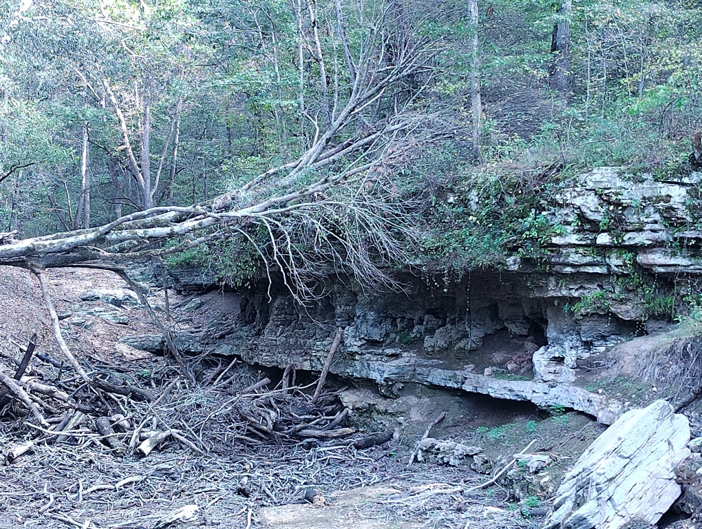
Hwy 14, turn right onto AP, and then turn left into Blue Hole trailhead. We did some exploring trying to connect two trails. Will have to try it again in the fall.