Ulsan, South Korea
time : Aug 17, 2025 7:56 AM
duration : 0h 8m 55s
distance : 2.9 km
total_ascent : 12 m
highest_point : 65 m
avg_speed : 26.4 km/h
user_id : kys0217
user_firstname : 명환
user_lastname : 김
트랙과 선행내용 상이함..
[주요 산행경로 요약]
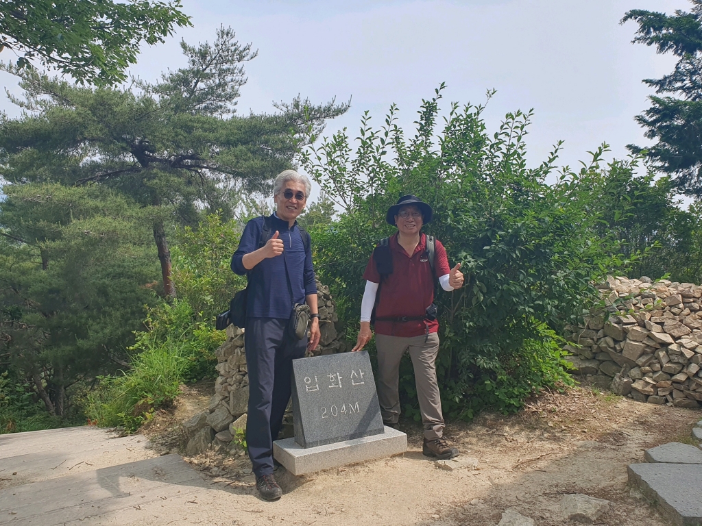
집(06:00) ~ 태화강전망대(울산 남구 신정동 소재) 버스정류장(08:21) ~ 태화강전망대 하부(08:26) ~ 이예교 하부 은하수다리(08:34) ~ 오산 만회정(08:41) ~ 십리대숲 맛보기후 중앙고교 입구(09:05) ~ 북부순환도로 중앙고 입구(09:11) ~ 태화저수지內 정자쉼터(09:21) ~ 좌_┨_유곡테니스장 갈림길(09:39)_직진 ~ 팔각정전망쉼터_좌_┨_테크노파크 갈림길(09:52)_직진 ~ 입화산(204.0 m) 정상(10:00) ~ 쉼터(10:21) ~ 정상주 휴식후 출발(11:12) ~ 우_┠_갈림길(11:32)_직진 ~ 다운교 버스정류장_산행종료(12:04) ~ 집(21:18)
[산행 소요시간 : 3시간 42분(08:21 ~ 12:04, 풍경감상 및 정상주 휴식시간 1시간 3분여 포함)]
[나들이앱 트랙 기준 이동거리 : 8.84 km]
[날씨 : 현충일 날씨는 시계 감상하기엔 그럭저럭 하지만 얼마 걷지 않았음에도 흘러내리는 닭똥같은 땀방울 견제는 어려웠었던 날씨의 연속.........]
[참석자 : 이복춘/김명환까지 총 2명(.........)]