Kittitas County, Washington, United States
time : Aug 23, 2025 4:09 AM
duration : 16h 48m 26s
distance : 11.2 mi
total_ascent : 7910 ft
highest_point : 9426 ft
avg_speed : 0.7 mi/h
user_id : QiangLuo
user_firstname : Qiang
user_lastname : Luo
This was a c2c trip with my 6 Chinese teammates.
Route breakdown:
TH to Long Pass: 2.5 mi, 1920 ft gain, elevation 6253 ft
Long Pass to Ingalls Creek: 1.1 mi, 1400 ft loss, elevation 4,860 ft
Ingalls Creck to the start of Cascadian Couloir (CC) climb : 0.6 mi, 1000 ft gain, elevation 5,966 ft
Start of CC to CC junction: 0.6 mi, 2,000 ft gain, elevation 8,000 ft
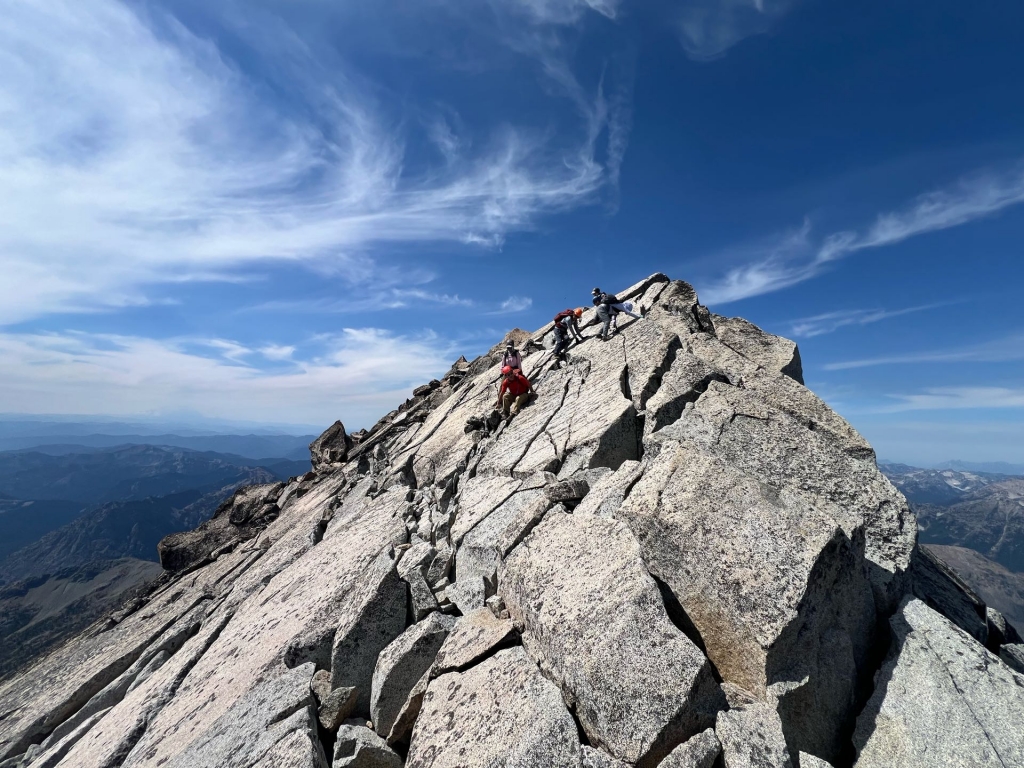
CC junction to false summit ridge: 1 mi, 1,000 elevation gain, elevation 9025 ft
False summit to true summit: 0.3 mi, 400 ft gain, elevation 9,420 ft.
Water source
Ingalls Creek is the only water source in August
GPX track of this trip:
https://1drv.ms/u/c/0524e9b89741e281/EbWRkvjSw_BJtTOqcPvBL9EBCmPxYy73mp_FUYh4dxYLLg