Yangpyeong-gun, Gyeonggi, South Korea
time : Oct 8, 2025 10:35 AM
duration : 3h 49m 52s
distance : 9 km
total_ascent : 571 m
highest_point : 1157 m
avg_speed : 2.7 km/h
user_id : cs77.ahn
user_firstname : Changsup
user_lastname : Ahn
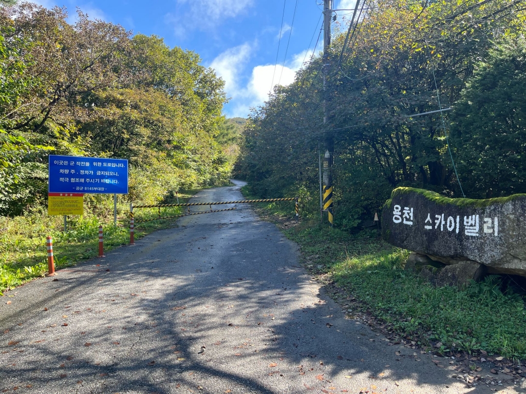
용문 스카이밸리로 시작. 처음 50분간은 도로로 올라가다가 부대 옆부터 산행 시작. 크게 힘든건 없으나 길이 좁아서 주의 필요.