남파랑길 62코스(전남보성군 부용교동쪽사거리∼순천시 별량화포)

탐방코스: 부용교동쪽사거리 - 벌교갯벌어촌체험안내센터 - 구룡역 - 거차마을 - 별량화포 남파랑길 62코스(전남 순천시) 길이 25.1km 소요시간 8시간 30분 난이도 쉬움

Walking

구룡역에서부터 한동안 gps 오류로 루트 따라오기가 되지 않아 애를 먹었다
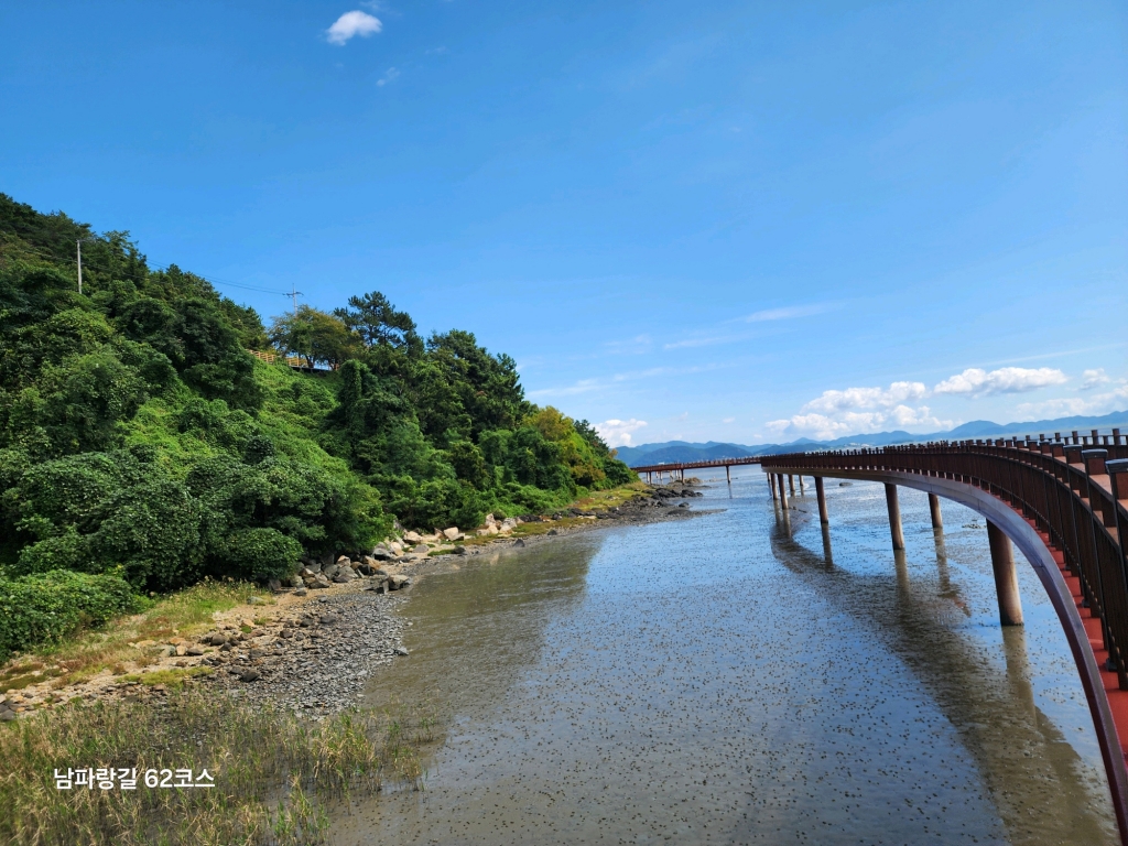
Boseong-gun, Jeollanam-do, South Korea
sun86712 photo
time : Oct 5, 2025 7:42 AM
duration : 5h 49m 26s
distance : 22.3 km
total_ascent : 170 m
highest_point : 50 m
avg_speed : 5.3 km/h
user_id : sun86712
user_firstname : 소리
user_lastname : 바람
탐방코스: 부용교동쪽사거리 - 벌교갯벌어촌체험안내센터 - 구룡역 - 거차마을 - 별량화포 남파랑길 62코스(전남 순천시) 길이 25.1km 소요시간 8시간 30분 난이도 쉬움
Info
Name
 
About Me
Media Contents
  •  
  • -
  •  
  • -
  •  
  • -
  •  
  • -
Most Frequent Activity
1.
-
2.
-
3.
-
Widget
Copy the widget source code below and paste into your blog template.
 
( / )
  No more trips to show
 
No more trips to show
sun86712's Collections
 
Sorry, the collection could not be found.
Bookmarked Collections
 
Sorry, the collection could not be found.
 
(0)
  There is no data
Blocked Users(0)
  There is no data
Ramblr passports
  Share

  Grab the URL link to the passport.

0 like(s)
 
(0 / 0)
Badges (0)
These are the badges you have acquired. Click to see the details.
     
     
    These are the badges you have acquired. Click to see the details.
    Badges acquired
      Full Screen
     
      Google Map
      Naver Map
    Statistics
    • Total
      Trips
      -
    • Total
      Distance
      -
    • Total
      Duration
      -
    • Highest
      Point
      -
    • Total
      Ascent
      -
    • Average
      Speed
      -
    Most Frequent Activity
    Click on the stat type above to see its graph.
  • First Certification Date :
  •  
    Following
      Follow
    Unfollow
  • 0
     
    There is no badge.
  • Draft
    Private
    Secret
     
    -
      Edit
      Delete
    Are you sure you want to delete this trip?
    YES, delete
    NO, cancel
    Add to Collection
     
     
    Create a Collection Edit Collection
     
    Name
     
    Description
     
    Visibility Setting
     
    Trip Sorting by
     
    Cover Picture