Grayson County, Virginia, United States
time : Jul 20, 2025 9:56 AM
duration : 3h 11m 28s
distance : 5.6 mi
total_ascent : 866 ft
highest_point : 2894 ft
avg_speed : 2.5 mi/h
user_id : tvp.crna
user_firstname : Tammy
user_lastname : Phinney
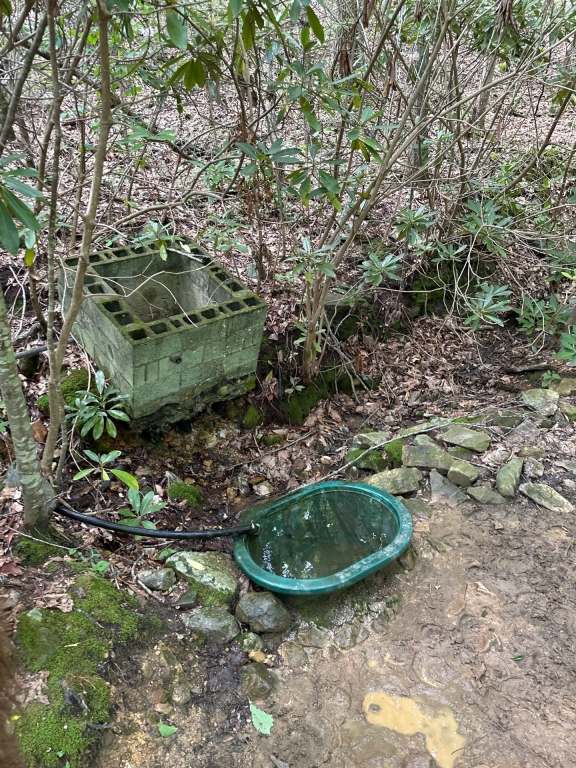
Out the front of camp, follow the pavement up to the first house/mobile home. Follow the trail up to cooks corner. Straight across at cooks corner. Right on VHHT. Follow up to Hugo’s meadow, on to the watering hole (image in map). Back down VHHT to the spur in to camp.
The trail up to and across cooks corner is single track and has some technical riding. It’s only about 30 minutes from camp to the VHHT this way.