Bezirk Kitzbühel, Tyrol, Austria
time : Sep 29, 2025 9:58 AM
duration : 2h 6m 22s
distance : 3 mi
total_ascent : 1043 ft
highest_point : 6545 ft
avg_speed : 1.7 mi/h
user_id : Nuernbergerchef1
user_firstname : Josef
user_lastname : Nuernberger
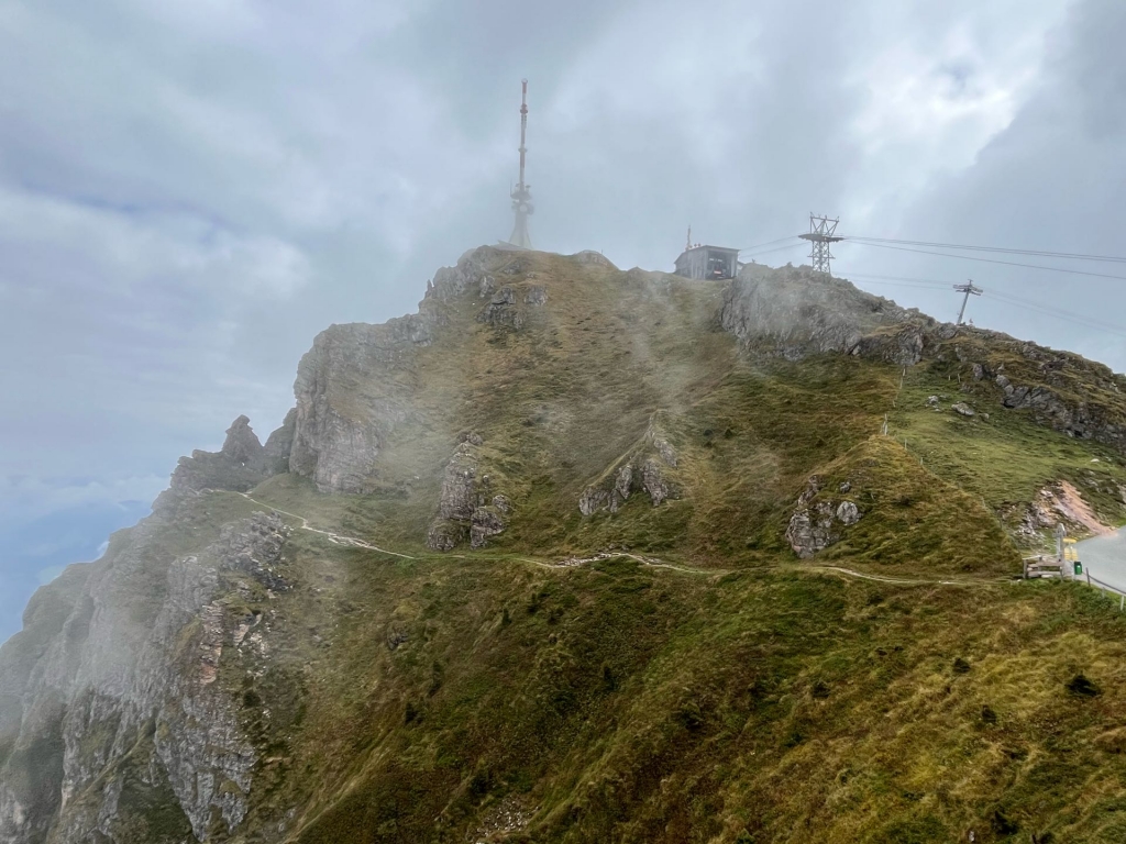
Drove up the Tollroad to Alpenhaus 1669 m 5474 ft.(rather expensive € 25 with a return of € 10 when consuming something at the Restaurant)and walked up the Road to the Highpoint with a Huge Telecommunications Mast, The View was mediocre but would be exceptional on a Clear Day. Didn’t hung around for long and walked back down the Road and passing by the Lower Summit Cross as well as the walking Path through the Alpine Flower Garden which unfortunately is too late in the Season for the Flowers.