Tweng, Salzburg, Austria
time : Sep 20, 2025 1:22 PM
duration : 2h 49m 13s
distance : 7.1 mi
total_ascent : 2805 ft
highest_point : 6823 ft
avg_speed : 2.8 mi/h
user_id : Nuernbergerchef1
user_firstname : Josef
user_lastname : Nuernberger
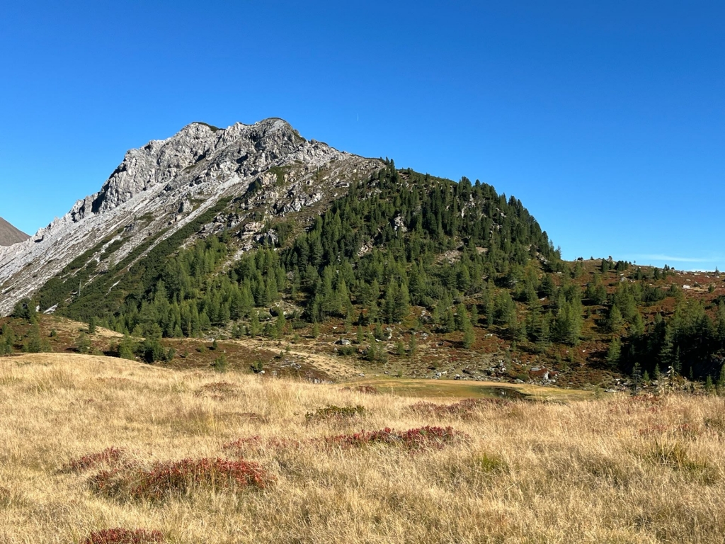
From the Parking Lot Lantschfeldtal, 1245 m in Tweng I followed the well signed and marked Forest Road up and past Untere Neuwirtshütte to Metzger Almhütte 1740 m taking the occasional Shortcut. From here onwards it’s a paint marked Trail up to Wildalmsee which is very scenic but also a Swamp, The Trail circling around the Lake and up to the Ridge. This is also the Trail Junction leading to Treberlingspitze on the left and the right Trail goes up to Weißeneck 2563 m 8407 ft. Significant higher. I stayed on the Left trail and made my way up towards the Summit which is steep and easy scrambling is necessary also dry Conditions help on this Dirt Path, The view from the Summit is great but not exceptional because of the Low Elevation. Summit Cross, Register, and a Trigpoint mark the Highpoint. According to the Register it’s a rather rare visited Peak but very well worth it, Returned back the same way, Drove home and went to work, Another Great Afternoon Peak in between Work.