Flachauwinkl, Salzburg, Austria
time : Sep 9, 2025 7:09 AM
duration : 9h 59m 46s
distance : 14.6 mi
total_ascent : 6811 ft
highest_point : 8771 ft
avg_speed : 1.7 mi/h
user_id : Nuernbergerchef1
user_firstname : Josef
user_lastname : Nuernberger
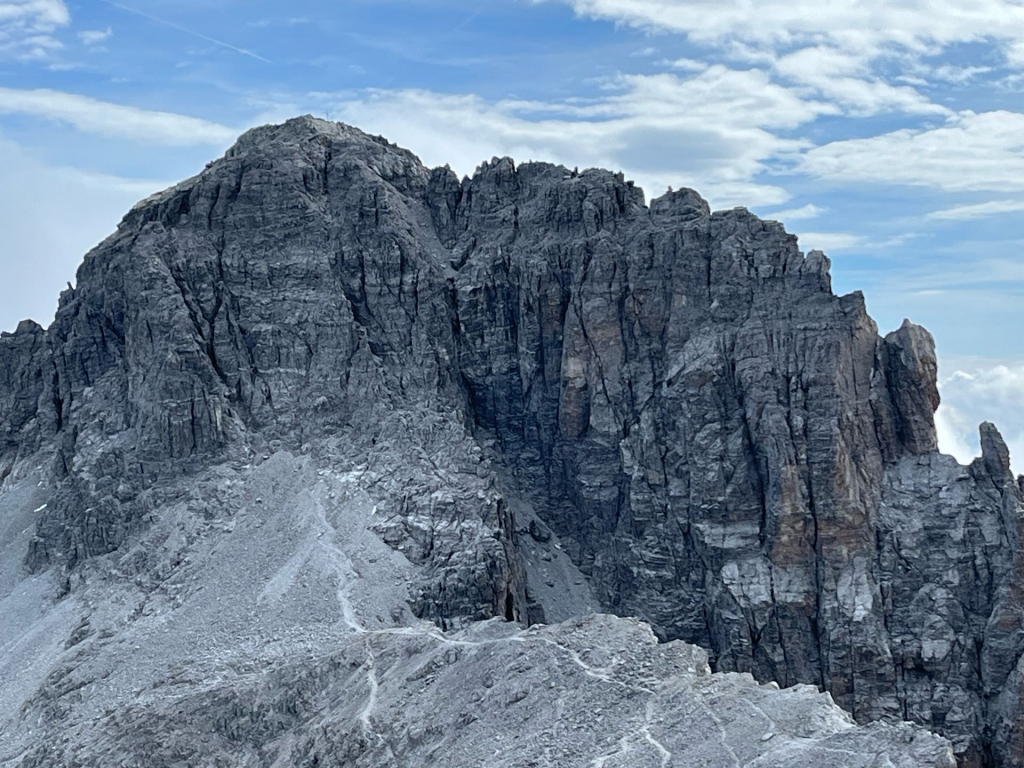
Overnight Park at the Car Park on the Mainroad to Marbachtal Alp for this rather Long Day Hike to both Peaks. From the beginning it is a almost level Road walk till the end of the Valley before the real ascent up to Ursprungalm (1531m) and thereafter almost another five hundred meter ascent in a short distance up to the Junction of both Peaks, I turned left first towards Neukarsee 2065 m 6773 ft. (Lake) and Windischscharte 2304 m 7557 and Mosermandl on a Good marked Trail. The last Section up to the Summit is via a Cable protected Chimney but not difficult or overly exposed. Great Views from the Summit of a most popular Peak in the area. I descended the chimney and made a short detour to get me up and over Windischkopf 2609 m 8558 ft which is not really a separate Peak and only marked with a Summit Cairn. Once almost back at the junction I made a short cut across to reach the Trail up to Neukarscharte (2257m). Which is the ascent Route to Faulkogel 2654 m 8705 ft. The first part is Cable Protected and loose Rock and Scree, not an issue today since nobody else was on the Mountain, Could be an issue with Rockfall danger and might warrant a Helmet. Otherwise the Eoute is well marked and easy to follow up to the Summit with Cross, Register, and Trigpoint. Bad Weather was moving in already and I had to rush down to reach at least Ursprung Alm to be Safe which I did and only got caught by the rain on the last part of the Roadwalk back to the Car Park. Another Great Day in the Mountains on two prominent Peaks in the area.